

Climate, Volume 5, Issue 3 (September 2017) – 32 articles
Cover Story (view full-size image):
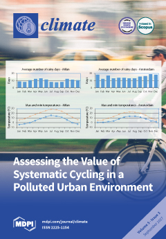
The positive health effects of systematic cycling are weighted against the negative effects due to higher pollutant inhalation in the urban area of Milan in Northern Italy, where high PM concentrations are frequent. The study uses two different models to assess such effects. The overall balance for public health turns out to be highly positive: of the order of hundreds of millions of euros per year, if the biking level of more bike-friendly cities, such as Amsterdam, is reached. Despite being much less relevant from an economic viewpoint, the study also estimates the reduction of pollutants and greenhouse gas emissions corresponding to the assumed bike use. The approach can easily be adapted to other urban environments to quantitatively evaluate the effectiveness of planning measures to foster active mobility. View this paper
- Issues are regarded as officially published after their release is announced to the table of contents alert mailing list.
- You may sign up for e-mail alerts to receive table of contents of newly released issues.
- PDF is the official format for papers published in both, html and pdf forms. To view the papers in pdf format, click on the "PDF Full-text" link, and use the free Adobe Reader to open them.
Previous Issue
Next Issue