

Land 2024, 13(5), 619; https://doi.org/10.3390/land13050619 - 03 May 2024
Abstract
Ancient Andean agricultural landscapes have been the subject of a large number of archaeological and agro-ecological studies, which generally refer to regions with favourable environmental conditions or, in the case of arid and semi-arid environments, those with irrigation facilities. The aim of this
[...] Read more.
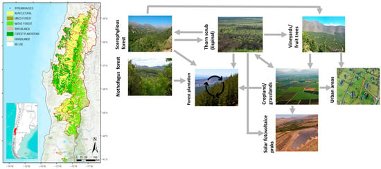
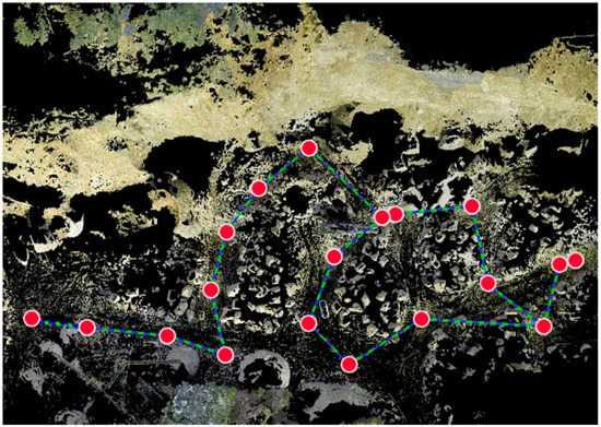
Ancient Andean agricultural landscapes have been the subject of a large number of archaeological and agro-ecological studies, which generally refer to regions with favourable environmental conditions or, in the case of arid and semi-arid environments, those with irrigation facilities. The aim of this article is to present and analyse the pre-Hispanic rain-fed farming systems widely represented in two adjacent regions of Bolivia’s arid and cold southern Altiplano. The search for archaeological agricultural areas combined aerial analysis and field surveys. Agro-ecological characterisation was based on historical and ethnographic studies of the region’s present-day populations. Despite their geographical proximity, similar environmental conditions, and same agropastoral way of life, the typology of cultivated areas developed in the southern altiplano differs significantly. Within this same framework of adaptation and resilience, the sectorisation of agricultural systems observed in these two regions reveals a regional productive specialisation that favoured internal exchanges and exchanges with other regions. These differences are related to two models of non-centralised, low-inequality societies—one strongly based on cohesion and the other characterised by greater fragmentation and social conflict—underlining the limits of strict environmental determinism in shaping agricultural landscapes. These results provide new food for thought in the debate on the use and value of rain-fed agricultural practices and more broadly on the diversity of adaptations by human societies in extreme and unstable environmental contexts.
Full article
(This article belongs to the Special Issue Current and Future Trends of Socio-Economic Values in Terrestrial Ecosystem Services)


