
Name: Dr. Wade T. Tinkham
Affiliation: Rocky Mountain Research Station, Forest Service, United State Department of Agriculture, CO, USA
Dr. Wade T. Tinkham is a Research Forester who utilizes a combination of field inventories, remote sensing, GIS, and forest growth/landscape change models to characterize and address a wide array of applied forest management questions. His work is building towards a suite of spatially aware decision support tools and methods for characterizing, monitoring, and projecting changes in resources across multiple scales.
Highly Cited Paper:
“Influence of Agisoft Metashape Parameters on UAS Structure from Motion Individual Tree Detection from Canopy Height Models”
by Wade T. Tinkham and Neal C. Swayze
Forests 2021, 12(2), 250; https://doi.org/10.3390/f12020250
1. Can you introduce yourself and give an overview of your current research?
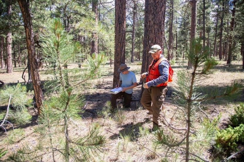
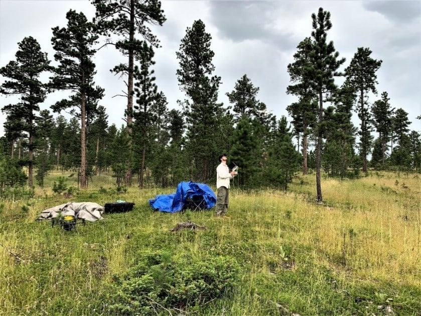
I entered forestry through a private management lens but have since found my niche in research in the overlap of biometry and remote sensing as a Research Forester for the USDA Forest Service Rocky Mountain Research Station. We recently completed a series of studies developing unmanned aerial system (UAS)-assisted forest inventory methods for characterizing individual tree locations, heights, diameters, and crowns in open canopy forests like those dominated by ponderosa pine. Now, I am working with collaborators at the University of Idaho and Oregon State University to expand the feasibility of these methods to denser forest systems by merging below-canopy remote sensing with UAS observations. With my collaborators, we are working to make UAS-derived forest inventory data accessible for management planning.
2. What do you hope that readers will get from your paper? What do you hope this research will bring to forestry?
One of our goals with this paper was to conduct a validation of methods that actually could be interpreted by foresters. Much of the UAS structure from the motion literature focuses on validating the individual points, while foresters are still managing trees, so we cut out the middle step and demonstrated the quality of extracted tree variables. My hope is that this work will draw attention to the potential of UAS forest monitoring to provide individual tree observations, particularly in semi-arid conifer forests where the spatial arrangement of the trees has become an important emphasis for restoration.
3. What led you to publish in Forests? Was it important to you that the journal is open access?
We targeted Forests to publish this work for two reasons. First, we wanted to present this work that crosses the lines between remote sensing and forestry in an outlet that would be seen by a forestry audience. Second, we wanted to take advantage of the open access policy and ensure that this work could be accessible to as wide an audience as possible.
Wade T. Tinkham
Neal C. Swayze