Hydrogeochemical Evaluation of Groundwater Quality Parameters for Ogallala Aquifer in the Southern High Plains Region, USA


Abstract
:1. Introduction
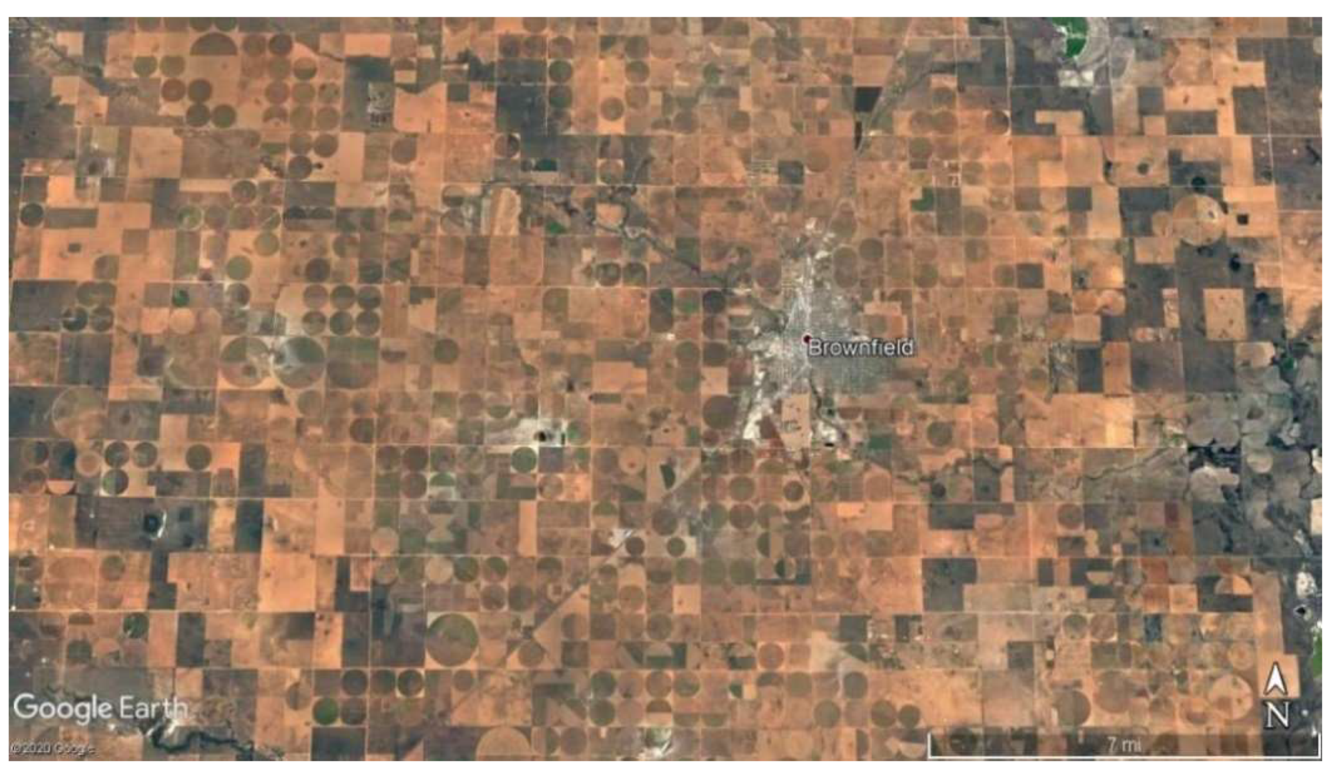
2. Study Area
3. Data and Methods
4. Results and Discussion
4.1. Chloride
4.2. Fluoride
4.3. Nitrate
4.4. pH
4.5. Selenium
4.6. Total Dissolved Solid (TDS)
4.7. Groundwater Quality Parameters and Depth Correlations
5. Conclusions
Author Contributions
Funding
Institutional Review Board Statement
Informed Consent Statement
Data Availability Statement
Conflicts of Interest
References
- Mobley, C.A.; Ging, P.B. Depth to water and water quality in groundwater wells in the Ogallala aquifer within the north Plains groundwater conservation district, Texas panhandle, 2019–20, and comparison to 2012–13 conditions. In Scientific Investigations Report; USGS: Austin, TX, USA, 2022; pp. 1–38. Available online: https://pubs.er.usgs.gov/publication/sir20225026/full (accessed on 30 May 2022).
- English, S.; Heo, J.; Won, J. Investigation of sinkhole formation with human influence: A case study from wink sink in Winkler County, Texas. Sustainability 2020, 12, 3537. [Google Scholar] [CrossRef]
- Hornbeck, R.; Keskin, P. The historically evolving impact of the Ogallala aquifer: Agricultural adaptation to groundwater and drought. Am. Econ. J. Appl. Econ. 2014, 6, 190–219. [Google Scholar] [CrossRef] [Green Version]
- McGuire, V.L. Water-level and recoverable water in storage changes, High Plains Aquifer, predevelopment to 2015 and 2013–15, Scientific Investigations Report 2011–5089. In Scientific Investigations Report; USGS (US Geological Survey): Reston, VA, USA, 2017. [Google Scholar] [CrossRef]
- USGS (United States Geological Survey). Center Pivot Irrigation System; USGS: Austin, TX, USA, 2015. Available online: https://www.google.com/url?sa=i&url=https%3A%2F%2Fwww.usgs.gov%2Fspecial-topic%2Fwater-science-school%2Fscience%2Firrigation-spray-or-sprinkler-irrigation&psig=AOvVaw18UlYj-SYg2qpvjmaLp6TN&ust=1608167163269000&source=images&cd=vfe&ved=0CAIQjRxqFwoTCIjGvN-n0e0CFQAAAAAdAAAAABAD (accessed on 8 March 2021).
- US EIA (United States Energy Information Administration). Permian Basin Wolfcamp Shale Play; US EIA: Washington, DC, USA, 2018. Available online: https://www.eia.gov/maps/pdf/PermianBasin_Wolfcamp_EIAReport_Oct2018.pdf (accessed on 5 April 2021).
- Jasechko, S.; Perrone, D. Hydraulic fracturing near domestic groundwater wells. Proc. Natl. Acad. Sci. USA 2017, 114, 13138–13143. [Google Scholar] [CrossRef] [PubMed] [Green Version]
- McEwen, M. TIPRO Report Looks at Changing Demographics of the Permian Basin; Midland Reporter Telegram: West Texas, TX, USA, 2019; Available online: https://www.mrt.com/business/oil/article/TIPRO-report-looks-at-changing-demographics-of-13839872.php (accessed on 8 September 2020).
- Epstein, A.C. Health and environment risks from oil and gas development. In Hydraulic Fracturing Impacts and Technologies; CRC Press: New York, NY, USA, 2015; pp. 122–135. [Google Scholar]
- Rodriguez, J.; Heo, J.; Park, J.; Lee, S.S.; Miranda, K. Inorganic pollutants in the water of Midland and Odessa, Permian Basin, West Texas. Air Soil Water Res. 2019, 12, 1178622119861089. [Google Scholar] [CrossRef]
- Nelson, R.; Heo, J. Monitoring environmental parameters with oil and gas developments in the Permian Basin, USA. Int. J. Environ. Res. Public Health 2020, 17, 4026. [Google Scholar] [CrossRef]
- Heo, J.; Yu, J.; Giardino, J.; Cho, H. Water resources response to climate and land-cover changes in a semi-arid watershed, New Mexico, USA. Terr. Atmos. Ocean. Sci. 2015, 26, 463–474. [Google Scholar] [CrossRef] [Green Version]
- Heo, J.; Yu, J.; Giardino, J.; Cho, H. Impacts of climate and land-cover changes on water resources in a humid subtropical watershed: A case study from East Texas, USA. Water Environ. J. 2015, 29, 51–60. [Google Scholar] [CrossRef]
- Seo, M.; Heo, J.; Kim, Y. Present and potential future critical source areas of nonpoint source pollution: A case of the Nakdong River watershed, South Korea. Environ. Sci. Pollut. Res. 2021, 28, 45676–45692. [Google Scholar] [CrossRef]
- US EPA (United States Environmental Protection Agency). Fertilizer Applied for Agricultural Purposes; US EPA: Washington, DC, USA, 2019. Available online: https://cfpub.epa.gov/roe/indicator.cfm?i=55 (accessed on 24 September 2020).
- Rodriguez, J.; Heo, J.; Kim, K.H. The impact of hydraulic fracturing on groundwater quality in the Permian Basin, West Texas, USA. Water 2020, 12, 796. [Google Scholar] [CrossRef] [Green Version]
- Swigart, J.; Heo, J.; Wolf, D. Soil contamination assessments from drilling fluids and produced water using combined field and laboratory investigations: A case study of Arkansas, USA. Int. J. Environ. Res. Public Health 2021, 18, 2421. [Google Scholar] [CrossRef]
- Lozano, J.; Heo, J.; Seo, M. Historical assessments of inorganic pollutants in the sinkhole region of Winkler County, Texas, USA. Sustainability 2021, 113, 7513. [Google Scholar] [CrossRef]
- US EPA (United States Environmental Protection Agency). Environmental Impact of the Petroleum Industry; US EPA: Washington, DC, USA, 2003. Available online: https://cfpub.epa.gov/ncer_abstracts/index.cfm/fuseaction/display.files/fileID/14522#:~:text=Environmental%20hazards%20of%20petroleum%20refineries&text=Air%20pollution%20hazards%3A%20Petroleum%20refineries,%2C%20ethylbenzene%2C%20and%20xylene (accessed on 25 October 2020).
- US EPA (United States Environmental Protection Agency). National Primary Drinking Water Regulations; US EPA: Washington, DC, USA, 2020. Available online: https://www.epa.gov/ground-water-and-drinking-water/national-primary-drinking-water-regulations (accessed on 11 April 2020).
- US Census Bureau. Population Estimates; U.S. Census Bureau: Washington, MD, USA, 2019. Available online: https://www.census.gov/quickfacts/TX (accessed on 10 November 2020).
- USDA (United States Department of Agriculture). Census of Agriculture, 2017. Census Volume 1, Chapter 1: State Level Data. 2017. Available online: https://www.nass.usda.gov/Publications/AgCensus/2017/Full_Report/Volume_1,_Chapter_1_State_Level/Texas/st48_1_0001_0001.pdf (accessed on 12 April 2020).
- Carson, D. Texas Counties: Annual Precipitation. 2020. Available online: http://www.texascounties.net/statistics/precipitation.htm (accessed on 5 May 2020).
- TWDB (Texas Water Development Board). Groundwater Availability of the Southern Ogallala Aquifer in Texas and New Mexico: Numerical Simulations Through 2050; TWDB: Austin, TX, USA, 2003. Available online: https://www.twdb.texas.gov/groundwater/models/gam/ogll_s/ogll_s.asp (accessed on 3 August 2021).
- TWDB (Texas Water Development Board). Texas Aquifers Study: Groundwater Quantity, Quality, Flow, and Contributions to Surface Water; TWDB: Austin, TX, USA, 2016. Available online: https://www.twdb.texas.gov/groundwater/docs/studies/TexasAquifersStudy_2016.pdf. (accessed on 1 December 2021).
- Heo, J. The impact of climate change on hydrology with geomorphology in Northeast Texas. J. Earth Sci. Eng. 2018, 8, 1–7. [Google Scholar]
- Hudak, P.F. Sulfate and chloride concentrations in Texas aquifers. Environ. Int. 2000, 26, 55–61. [Google Scholar] [CrossRef]
- Hudak, P.F. Solute distribution in the Ogallala Aquifer, Texas: Lithium, fluoride, nitrate, chloride and bromide. Carbonates Evaporites 2016, 31, 437–448. [Google Scholar] [CrossRef]
- Hudak, P.F.; Sanmanee, S. Spatial patterns of nitrate, chloride, sulfate, and fluoride concentrations in the woodbine aquifer of North-Central Texas. Environ. Monit. Assess. 2003, 82, 311–320. [Google Scholar] [CrossRef]
- Freeman, J.T. The use of bromide and chloride mass ratios to differentiate salt-dissolution and formation brines in shallow groundwaters of the Western Canadian Sedimentary Basin. Hydrogeol. J. 2007, 15, 1377–1385. [Google Scholar] [CrossRef]
- NCBI (National Center for Biotechnology Information). PubChem Database. Chloride ion, CID = 312. 2020. Available online: https://pubchem.ncbi.nlm.nih.gov/compound/Chloride-ion (accessed on 27 April 2020).
- Reedy, R.C.; Scanlon, B.R.; Walden, S.; Strassberg, G. Naturally Occurring Groundwater Contamination in Texas. TWDB (Texas Water Development Board) Final Report 1004831125. 2011. Available online: https://www.twdb.texas.gov/publications/reports/contracted_reports/doc/1004831125.pdf (accessed on 5 November 2021).
- Chaudhuri, S.; Ale, S. Evaluation of long-term (1960–2010) groundwater fluoride contamination in Texas. J. Environ. Qual. 2014, 43, 1404–1416. [Google Scholar] [CrossRef] [Green Version]
- Tekle-Haimanot, R.; Melaku, Z.; Kloos, H.; Reimann, C.; Fantaye, W.; Zerihun, L.; Bjorvatn, K. The geographic distribution of fluoride in surface and groundwater in Ethiopia with an emphasis on the Rift Valley. Sci. Total Environ. 2006, 367, 182–190. [Google Scholar] [CrossRef]
- Mukherjee, I.; Singh, U.K. Groundwater fluoride contamination, probable release, and containment mechanisms: A review on Indian context. Environ. Geochem. Health 2018, 40, 2259–2301. [Google Scholar] [CrossRef]
- Hudak, P.F. Elevated fluoride and selenium in West Texas groundwater. Bull. Environ. Contam. Toxicol. 2009, 82, 39–42. [Google Scholar] [CrossRef]
- Hudak, P.F. Regional trends in nitrate content of Texas groundwater. J. Hydrol. 2000, 228, 37–47. [Google Scholar] [CrossRef]
- Howell, N. Comparative water qualities and blending in the Ogallala and Dockum aquifers in Texas. Hydrology 2021, 8, 166. [Google Scholar] [CrossRef]
- US EPA (United States Environmental Protection Agency). pH; US EPA: Washington, DC, USA, 2018. Available online: https://www.epa.gov/caddis-vol2/caddis-volume-2-sources-stressors-responses-ph (accessed on 30 April 2020).
- Appleyard, S.; Wong, S.; Willis-Jones, B.; Angeloni, J.; Watkins, R. Groundwater acidification caused by urban development in Perth, Western Australia: Source, distribution, and implications for management. Soil Res. 2004, 42, 579–585. [Google Scholar] [CrossRef]
- Mills, T.J.; Mast, M.A.; Thomas, J.; Keith, G. Controls on selenium distribution and mobilization in an irrigated shallow groundwater system underlain by Mancos Shale, Uncompahgre River Basin, Colorado, USA. Sci. Total Environ. 2016, 566, 1621–1631. [Google Scholar] [CrossRef] [PubMed]
- RBN Energy. Have It All, Part 5—Delek US’s Crude Oil Gathering System in the Midland Basin. Google Images. 2019. Available online: https://www.google.com/url?sa=i&url=https%3A%2F%2Frbnenergy.com%2Fhave-it-all-part-5-delek-uss-crude-oil-gathering-system-in-the-midland-basin&psig=AOvVaw1aCuXcIljDbCr7RHrDd6VU&ust=1608167203960000&source=images&cd=vfe&ved=0CAIQjRxqFwoTCIi_r_Kn0e0CFQAAAAAdAAAAABAD (accessed on 23 September 2021).
- Li, T.; Xu, H.; Zhang, Y.; Zhang, H.; Hu, X.; Sun, Y.; Gu, X.; Luo, J.; Zhou, D.; Gao, B. Treatment technologies for selenium contaminated water: A critical review. Environ. Pollut. 2022, 299, 118858. [Google Scholar] [CrossRef] [PubMed]
- MacFarquhar, J.K.; Broussard, D.L.; Melstrom, P.; Hutchinson, R.; Wolkin, A.; Martin, C.; Burk, R.F.; Dunn, J.R.; Green, A.L.; Hammond, R.; et al. Acute selenium toxicity associated with a dietary supplement. Arch. Intern. Med. 2010, 170, 256–261. [Google Scholar] [CrossRef] [Green Version]
- US EPA (United States Environmental Protection Agency). Selenium Compounds; US EPA: Washington, DC, USA, 2000. Available online: https://www.epa.gov/sites/production/files/2016-09/documents/selenium-compounds.pdf. (accessed on 28 April 2020).
- US EPA (United States Environmental Protection Agency). 5.8 Total Solids; US EPA: Washington, DC, USA, 2012. Available online: https://archive.epa.gov/water/archive/web/html/vms58.html (accessed on 18 April 2020).
- Chaudhuri, S.; Ale, S. Long term (1960–2010) trends in groundwater contamination and salinization in the Ogallala aquifer in Texas. J. Hydrol. 2014, 513, 376–390. [Google Scholar] [CrossRef]
- Mehta, S.; Fryar, A.E.; Banner, J.L. Controls on the regional-scale salinization of the Ogallala aquifer, Southern High Plains, Texas, USA. Appl. Geochem. 2000, 15, 849–864. [Google Scholar] [CrossRef]
- Chen, Y.; Marek, G.W.; Marek, T.H.; Porter, D.O.; Brauer, D.K.; Srinivasan, R. Simulating the effects of agricultural production practices on water conservation and crop yields using an improved SWAT model in the Texas High Plains, USA. Agric. Water Manag. 2021, 244, 1–12. [Google Scholar] [CrossRef]


| Borden | Cochran | Dawson | Gaines | Garza | Glasscock | Howard | Lynn | Terry | Yoakum | |
|---|---|---|---|---|---|---|---|---|---|---|
| Chloride (mg/L) | 497.7 | 153.8 | 393.6 | 213.4 | 128.4 | 568.8 | 305.5 | 357.5 | 297.3 | 247.5 |
| Fluoride (mg/L) | 3.9 | 2.3 | 4.0 | 3.6 | 4.7 | 2.7 | 3.5 | 4.7 | 4.4 | 3.0 |
| Nitrate (mg/L) | 88.4 | 18.3 | 48.0 | 25.2 | 25.9 | 36.0 | 71.5 | 66.4 | 38.2 | 24.3 |
| pH (SU) | 7.2 | 7.3 | 7.2 | 7.3 | 7.2 | 7.1 | 7.3 | 7.3 | 7.3 | 7.3 |
| Selenium (µg/L) | 167.0 | 29.8 | 73.7 | 20.5 | 13.7 | 49.6 | 13.6 | 32.6 | 39.9 | 20.9 |
| TDS (mg/L) | 1749.7 | 873.2 | 1597.0 | 1006.1 | 725.9 | 2228.0 | 1346.4 | 1497.1 | 1351.8 | 1099.1 |
Publisher’s Note: MDPI stays neutral with regard to jurisdictional claims in published maps and institutional affiliations. |
© 2022 by the authors. Licensee MDPI, Basel, Switzerland. This article is an open access article distributed under the terms and conditions of the Creative Commons Attribution (CC BY) license (https://creativecommons.org/licenses/by/4.0/).
Share and Cite
Haskell, D.; Heo, J.; Park, J.; Dong, C. Hydrogeochemical Evaluation of Groundwater Quality Parameters for Ogallala Aquifer in the Southern High Plains Region, USA. Int. J. Environ. Res. Public Health 2022, 19, 8453. https://doi.org/10.3390/ijerph19148453
Haskell D, Heo J, Park J, Dong C. Hydrogeochemical Evaluation of Groundwater Quality Parameters for Ogallala Aquifer in the Southern High Plains Region, USA. International Journal of Environmental Research and Public Health. 2022; 19(14):8453. https://doi.org/10.3390/ijerph19148453
Chicago/Turabian StyleHaskell, Derek, Joonghyeok Heo, Joonkyu Park, and Chao Dong. 2022. "Hydrogeochemical Evaluation of Groundwater Quality Parameters for Ogallala Aquifer in the Southern High Plains Region, USA" International Journal of Environmental Research and Public Health 19, no. 14: 8453. https://doi.org/10.3390/ijerph19148453