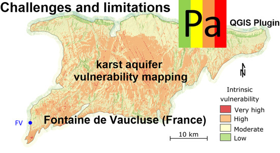
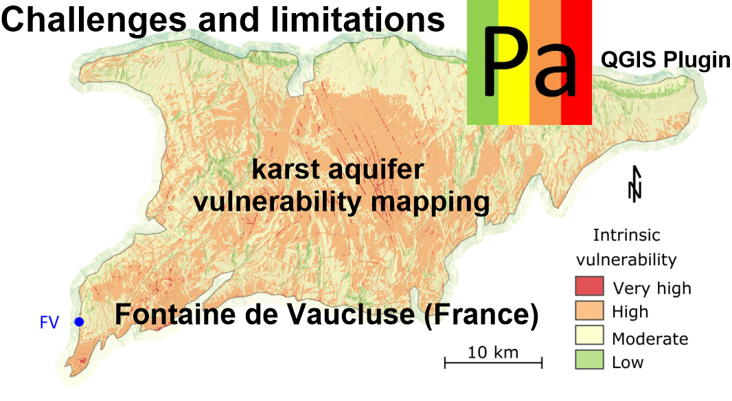
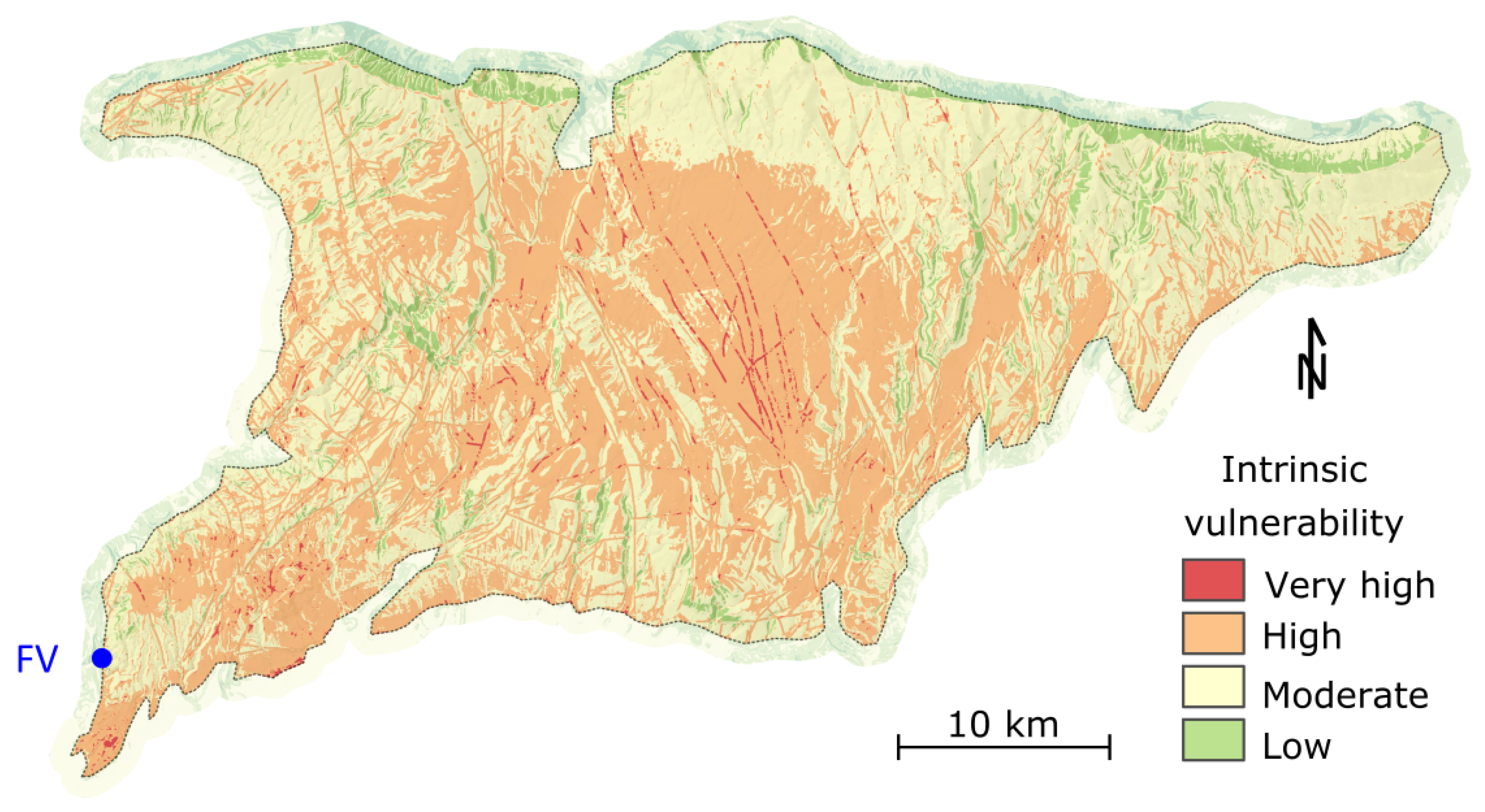
Challenges and Limitations of Karst Aquifer Vulnerability Mapping Based on the PaPRIKa Method—Application to a Large European Karst Aquifer (Fontaine de Vaucluse, France)

 , , ,
, , ,  ,
,  and
and Abstract
Share and Cite
Ollivier, C.; Chalikakis, K.; Mazzilli, N.; Kazakis, N.; Lecomte, Y.; Danquigny, C.; Emblanch, C. Challenges and Limitations of Karst Aquifer Vulnerability Mapping Based on the PaPRIKa Method—Application to a Large European Karst Aquifer (Fontaine de Vaucluse, France). Environments 2019, 6, 39. https://doi.org/10.3390/environments6030039
Ollivier C, Chalikakis K, Mazzilli N, Kazakis N, Lecomte Y, Danquigny C, Emblanch C. Challenges and Limitations of Karst Aquifer Vulnerability Mapping Based on the PaPRIKa Method—Application to a Large European Karst Aquifer (Fontaine de Vaucluse, France). Environments. 2019; 6(3):39. https://doi.org/10.3390/environments6030039
Chicago/Turabian StyleOllivier, Chloé, Konstantinos Chalikakis, Naomi Mazzilli, Nerantzis Kazakis, Yoann Lecomte, Charles Danquigny, and Christophe Emblanch. 2019. "Challenges and Limitations of Karst Aquifer Vulnerability Mapping Based on the PaPRIKa Method—Application to a Large European Karst Aquifer (Fontaine de Vaucluse, France)" Environments 6, no. 3: 39. https://doi.org/10.3390/environments6030039
APA StyleOllivier, C., Chalikakis, K., Mazzilli, N., Kazakis, N., Lecomte, Y., Danquigny, C., & Emblanch, C. (2019). Challenges and Limitations of Karst Aquifer Vulnerability Mapping Based on the PaPRIKa Method—Application to a Large European Karst Aquifer (Fontaine de Vaucluse, France). Environments, 6(3), 39. https://doi.org/10.3390/environments6030039