Article

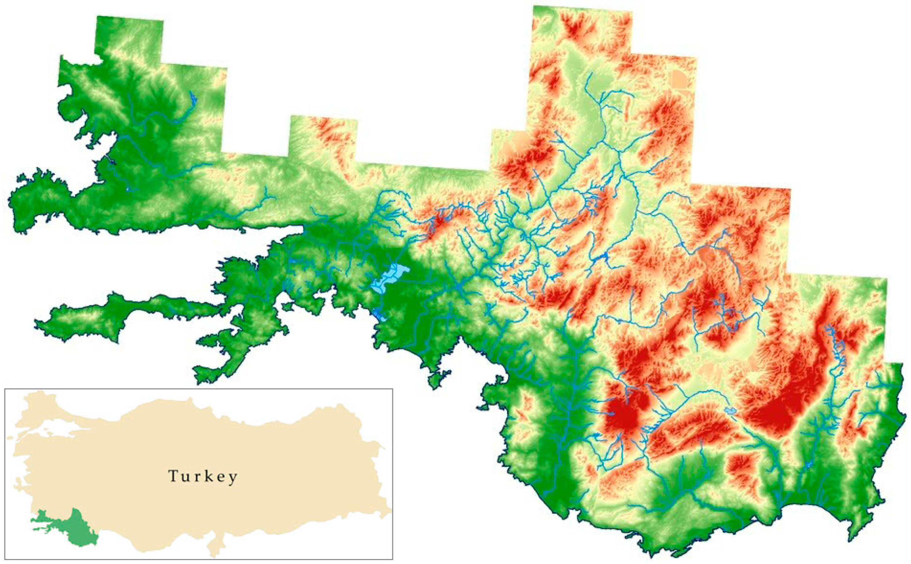
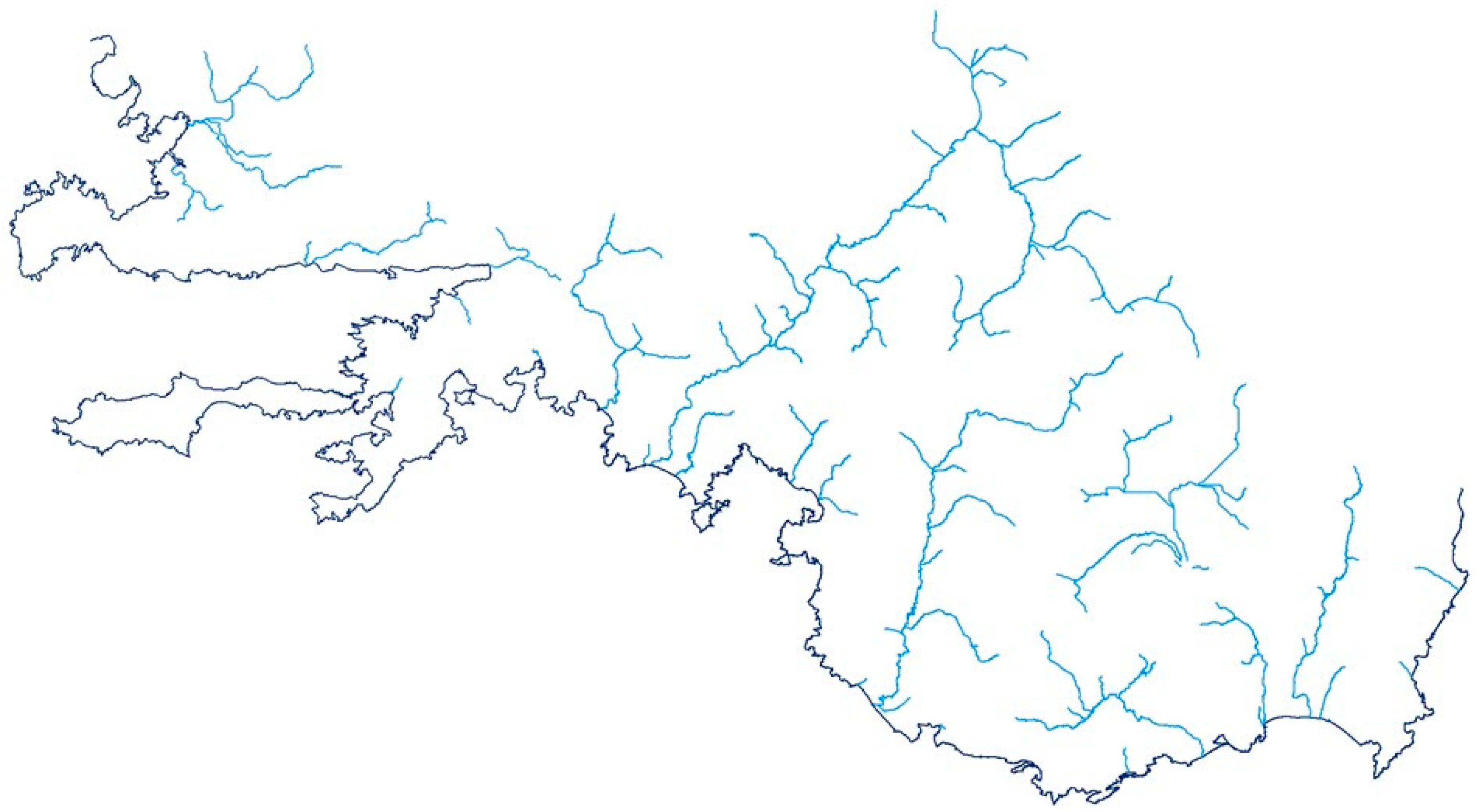
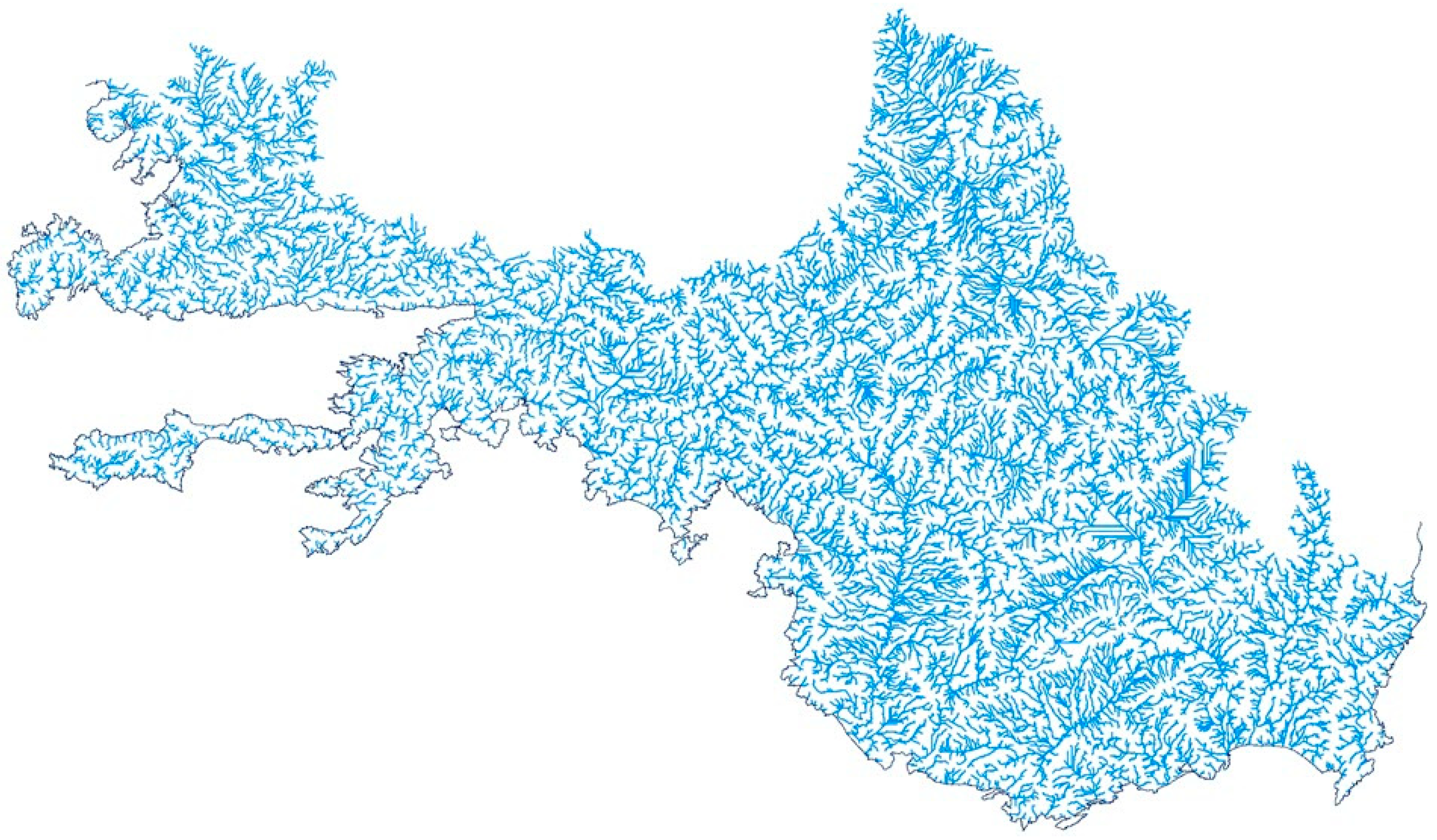
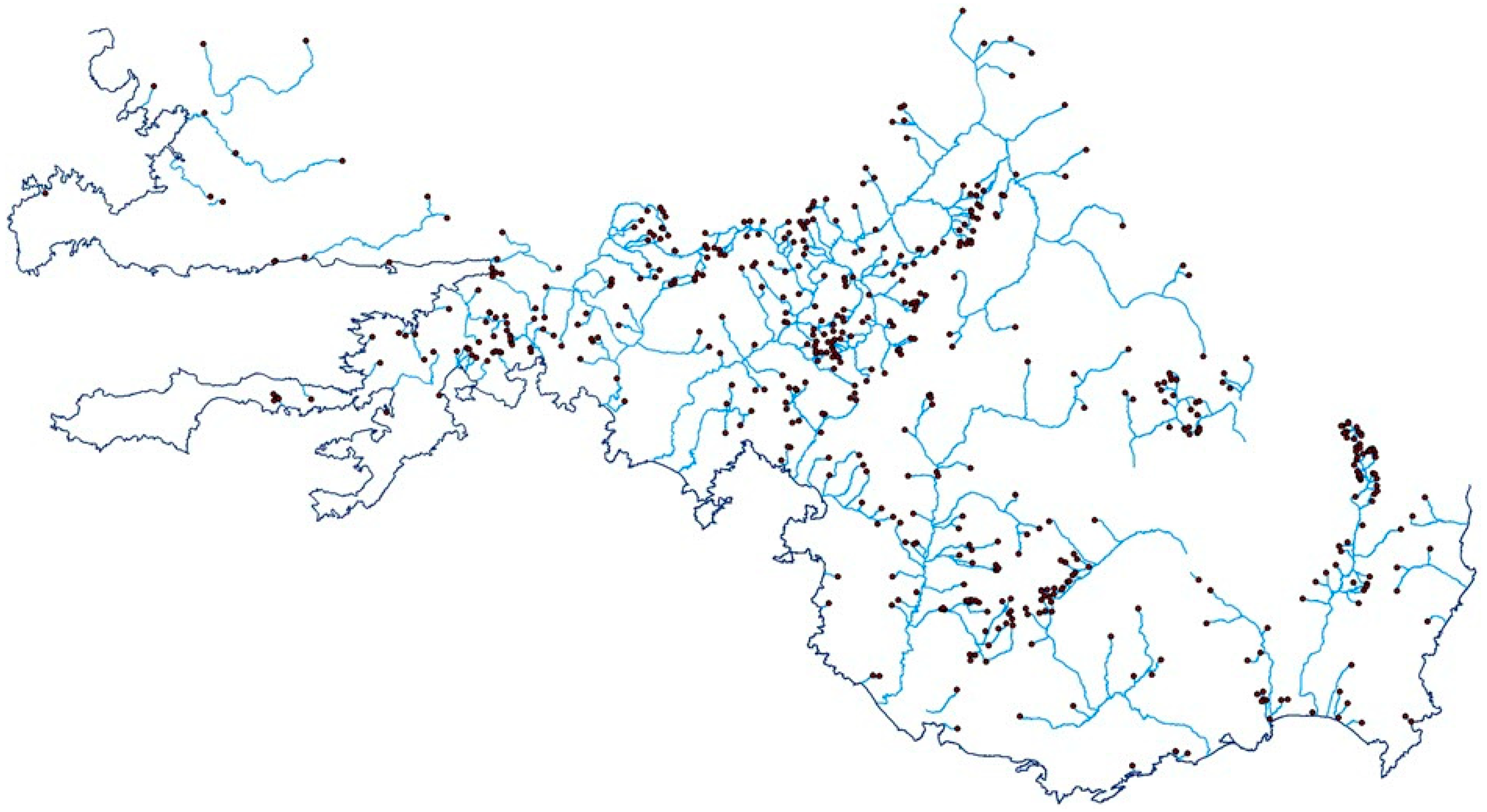
Examining the Stream Threshold Approaches Used in Hydrologic Analysis

by
İbrahim Murat Ozulu
1,* and
Türkay Gökgöz
2
1
Architecture and City Planning Department, Vocational School of Technical Sciences, Hitit University, 19169 Corum, Turkey
2
Geomatic Engineering Department, Civil Faculty, Davutpasa Campus, Yildiz Technical University, 34220 Esenler, Istanbul, Turkey
*
Author to whom correspondence should be addressed.
ISPRS Int. J. Geo-Inf. 2018, 7(6), 201; https://doi.org/10.3390/ijgi7060201
Submission received: 17 April 2018 / Revised: 15 May 2018 / Accepted: 27 May 2018 / Published: 29 May 2018

Abstract

The stream threshold is a user-defined and important parameter that directly affects the drainage network and basin boundaries that would be obtained as a result of hydrological analysis. There have been several approaches developed for the stream threshold. According to the approaches treated in this study, the stream threshold is determined based on (1) the flow accumulation statistics: (a) 1% of the maximum flow accumulation value and (b) the mean flow accumulation value; (2) the flow accumulation values at the cells including the beginning points of the line features representing the existing streams; and (3) the adjacency and direction relationships between the cells including the beginning points of the lines in the drainage network to be derived. In this paper, a new approach as an integrant of the last approach was introduced (not only the adjacency and direction relationships between the cells including the beginning points, but also the adjacency and direction relationships amongst all of the cells, as well as including the lines considered). An experiment was conducted in accordance with the purpose of comparing and evaluating these approaches. According to the experimental results, it was found that the last two approaches differed from the first three approaches in terms of providing clues to the user regarding the quality and the quantity of the drainage network to be derived.
Keywords: GIS; DEM; drainage network; hydrologic analysis; stream threshold GIS; DEM; drainage network; hydrologic analysis; stream threshold

