
Geosites as Educational Key-Elements for Sustainability: The UNESCO Global Geoparks Model †


Facultad de Educación, Universidad Camilo José Cela, Urb. Villafranca del Castillo, Calle Castillo de Alarcón 49, 28692 Madrid, Spain
†
Presented at the 4th International Electronic Conference on Geosciences, 1–15 December 2022; Available online: https://sciforum.net/event/IECG2022 .
Proceedings 2023, 87(1), 22; https://doi.org/10.3390/IECG2022-13749
Published: 30 November 2022
(This article belongs to the Proceedings of The 4th International Electronic Conference on Geosciences)
Abstract
:Geosites, meaning the places of geological interest, have gained notoriety nowadays, positioning themselves as one of the most important resources in educational strategies for earth and environmental sciences. The possibility of observing the results of the different geological processes, morphologies, or minerals in situ helps us to understand how our planet works and how we, as a society, have taken advantage of its elements to progress in all areas of daily life. Their particularity and, above all, its variability, make them unique places that range from outcrops to mining complexes or spectacular viewpoints, where we can learn about the message that the landscape conveys. For this reason, geosites are an outstanding opportunity to not only learn about geosciences, but also about their history, traditions, and everything related to the territory in which they are located. The UNESCO Global Geoparks (UGGps) are an international example of how to craft a sustainable development strategy focused on the educational potential of geosites. Complementing them with interpretation centers, information panels, QR codes, and specialized guides, these territories have come to be considered as benchmarks within the so-called sustainable tourism, transforming the land into authentic open-air educational museums. Following a personal style and defending the appellation of origin, the UGGps create an exceptional model based on educational foundations that aims to bring the territory closer to the greatest number of people possible.
A “Geosite” (Figure 1) is a specific area or a particular place that presents a relevant geological heritage, allowing individuals to understand, from one or several perspectives, the history of the earth [1].
During the learning process of geology and all its derived disciplines, field work and georoutes are a vital resource to show the results of geological processes and teach how to differentiate each one of them according to the interpretation of the landscape. Geological sites have turned out to be true open-air laboratories in which to learn about the past, the present, and the future of our planet. Although its main interest is always related to the geosciences, and its key points are based on their own elements such as rocks, fossils, structures, or morphologies, the truth is that there is an undeniable confluence with the surrounding society and what we can learn about it [2].
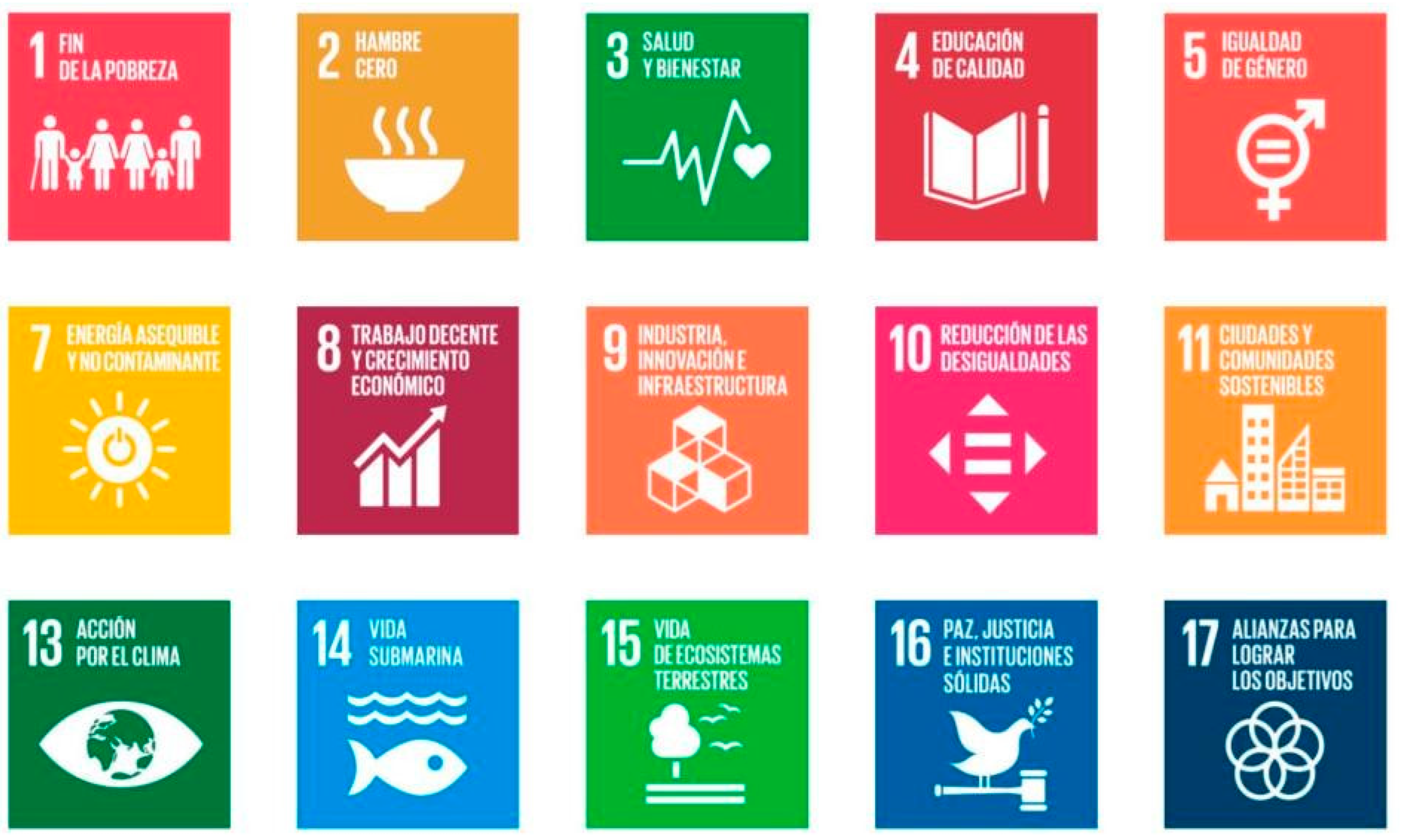
For this reason, the UNESCO Global Geoparks (UGGps) have used geosites as an educational axis to transmit everything that surrounds each territory. Its model permits learning in a sustainable manner (Figure 2), and thanks to the geology that we find in each geosite regarding traditions, history, and even gastronomy [3].
To complement these places and create a unique educational experience, the UGGps make use of explanatory panels, brochures, interpretation centers, and even new technologies, thereby offering a large amount of online content including audiovisuals, information documents, and QR codes that we can use in these geosites to learn more about them (Figure 3).
Each UGGps has its unique characteristics, and they are faithful defenders of the denomination of origin, which translates into well-differentiated educational territories that revolve around the same central pillars. Among them, the support for the sustainable development objectives of the 2030 Agenda stands out as one of the main foundations, and more specifically, the creation of a quality educational system that is both adaptable and accessible to the entire public.
Thanks to this territorial development strategy, the UGGps have become authentic educational references that are internationally recognized, allowing a constant expansion that advances each year, and this brings the geosciences closer to an ever-greater number of people.
Funding
This research received no external funding.
Institutional Review Board Statement
Not applicable.
Informed Consent Statement
Not applicable.
Data Availability Statement
Not applicable.
Conflicts of Interest
The author declares no conflict of interest.
References
- García-Cortes, A.; Carcavilla, L. Documento Metodológico Para la Elaboración del Inventario Español de Lugares de Interés Geológico (IELIG); Instituto Geológico y Minero de España: Madrid, Spain, 2013; 64p, Available online: http://www.igme.es/patrimonio/novedades/METODOLOGIA%20IELIG%20web.pdf (accessed on 20 October 2022).
- Henriques, M.H.; Tomaz, C.; Sá, A.A. The Arouca Geopark (Portugal) as an educational resource: A case study. Epis. J. Int. Geosci. 2012, 35, 481–488. [Google Scholar] [CrossRef] [PubMed]
- Martínez Martín, J.E.; Mariñoso, P.E. Zumaia Flysch geosite: A spectacular “diary” of earth history. Int. J. Earth Sci. 2021, 110, 1681–1682. [Google Scholar] [CrossRef]
Figure 1.
Set of some of the most emblematic geosites of the UNESCO World Geoparks. From left to right: the Cabañas Castle in the Villuercas-Ibores-Jara Geopark; the K/Pg limit in the Basque Coast Geopark; the Portela da Anta in the Arouca Geopark; the Zêzere glacier valley in the Geopark of the Serra de Estrela; and the Golfo (Charco de los Clicos) in the Geopark of Lanzarote and Chinijo Archipelago.

Figure 2.
All 17 Sustainable Development Goals (SDGs) presented in the UNESCO 2030 Agenda. Every UGGps action, plan, or activity is focused on education, heritage protection, research, and scientific disclosure, as well as the relationships that exist between nature, culture, and society. Geoparks contributions to these SDGs are not only directed to natural education—they work everyday to get quality, accessible, and sustainable education for all. Even with the particularities and different ways of working of each of these UGGps, they represent the same idea, and they adapt themselves to their own natural heritage to offer the best educational environment.

Figure 3.
Some of the educational field resources that we can find in the UGGps that complement the places of geological interest. In this case, indicative signs, functional QR codes, and panels with detailed information about each geosite are provided.
Figure 3.
Some of the educational field resources that we can find in the UGGps that complement the places of geological interest. In this case, indicative signs, functional QR codes, and panels with detailed information about each geosite are provided.

Disclaimer/Publisher’s Note: The statements, opinions and data contained in all publications are solely those of the individual author(s) and contributor(s) and not of MDPI and/or the editor(s). MDPI and/or the editor(s) disclaim responsibility for any injury to people or property resulting from any ideas, methods, instructions or products referred to in the content. |
© 2022 by the author. Licensee MDPI, Basel, Switzerland. This article is an open access article distributed under the terms and conditions of the Creative Commons Attribution (CC BY) license (https://creativecommons.org/licenses/by/4.0/).
Share and Cite
MDPI and ACS Style
Martínez-Martín, J.E. Geosites as Educational Key-Elements for Sustainability: The UNESCO Global Geoparks Model. Proceedings 2023, 87, 22. https://doi.org/10.3390/IECG2022-13749
AMA Style
Martínez-Martín JE. Geosites as Educational Key-Elements for Sustainability: The UNESCO Global Geoparks Model. Proceedings. 2023; 87(1):22. https://doi.org/10.3390/IECG2022-13749
Chicago/Turabian StyleMartínez-Martín, Jesús Enrique. 2023. "Geosites as Educational Key-Elements for Sustainability: The UNESCO Global Geoparks Model" Proceedings 87, no. 1: 22. https://doi.org/10.3390/IECG2022-13749