Article

A Unified Framework for Individual Tree Segmentation and Forest Biometrics Derivation from LiDAR Point Clouds Captured by Different Platforms in Diverse Forest Environments

1
Lyles School of Civil and Construction Engineering, Purdue University, West Lafayette, IN 47907, USA
2
Department of Forestry and Natural Resources, Purdue University, West Lafayette, IN 47907, USA
*
Author to whom correspondence should be addressed.
Remote Sens. 2026, 18(17), 3059; https://doi.org/10.3390/rs18173059
Submission received: 11 June 2026 / Revised: 11 August 2026 / Accepted: 3 September 2026 / Published: 7 September 2026

Abstract

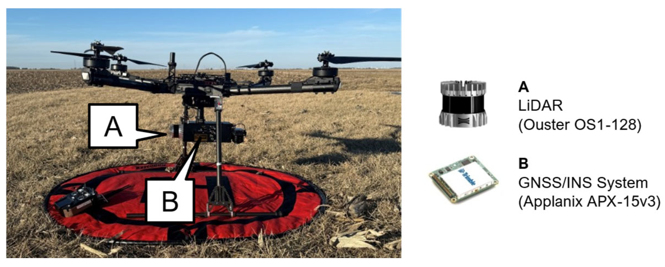
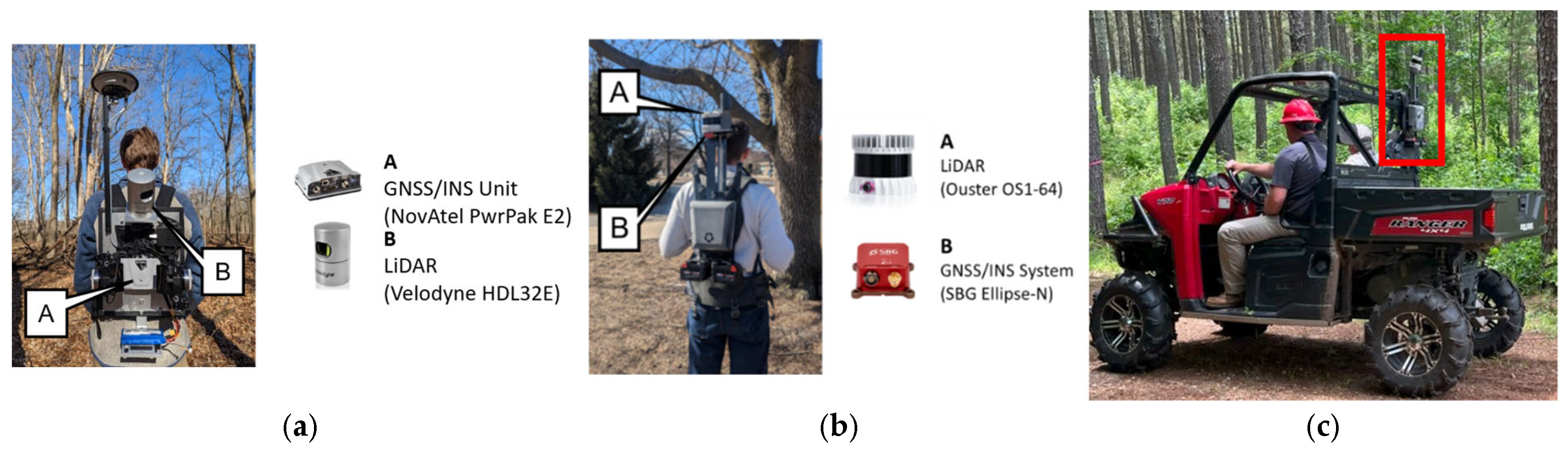
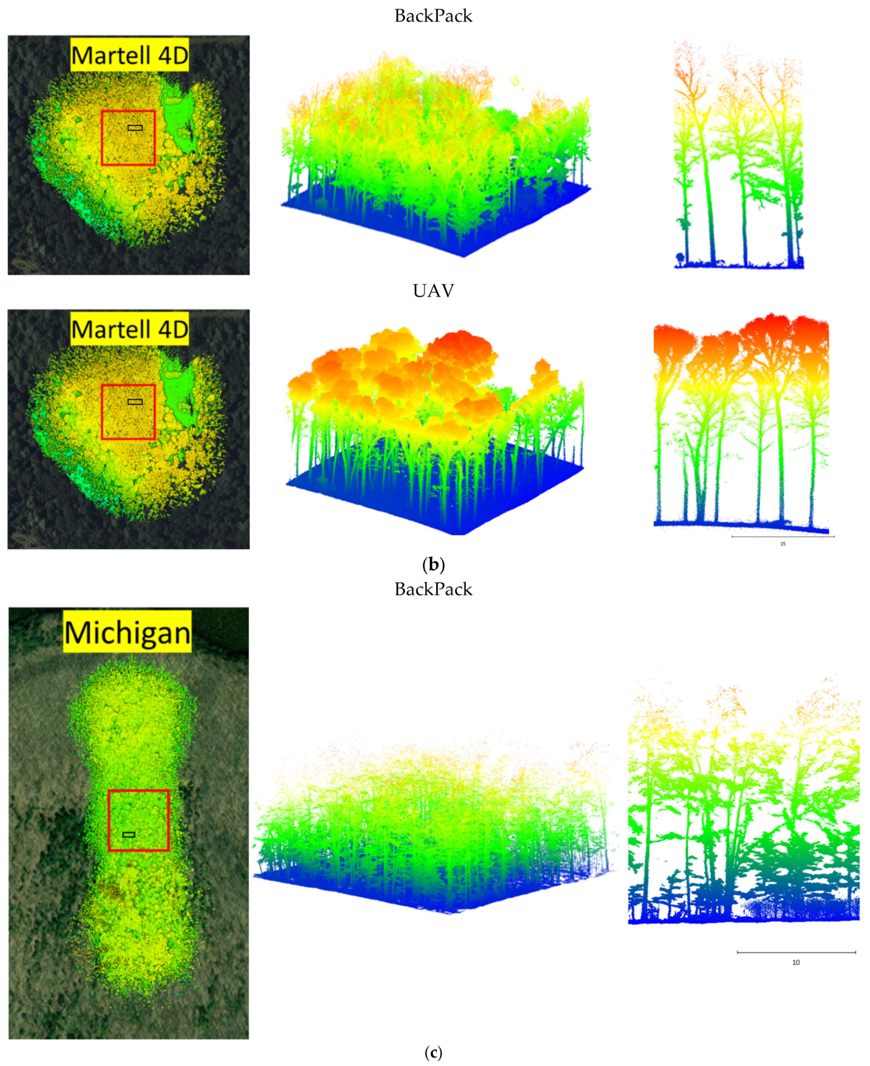
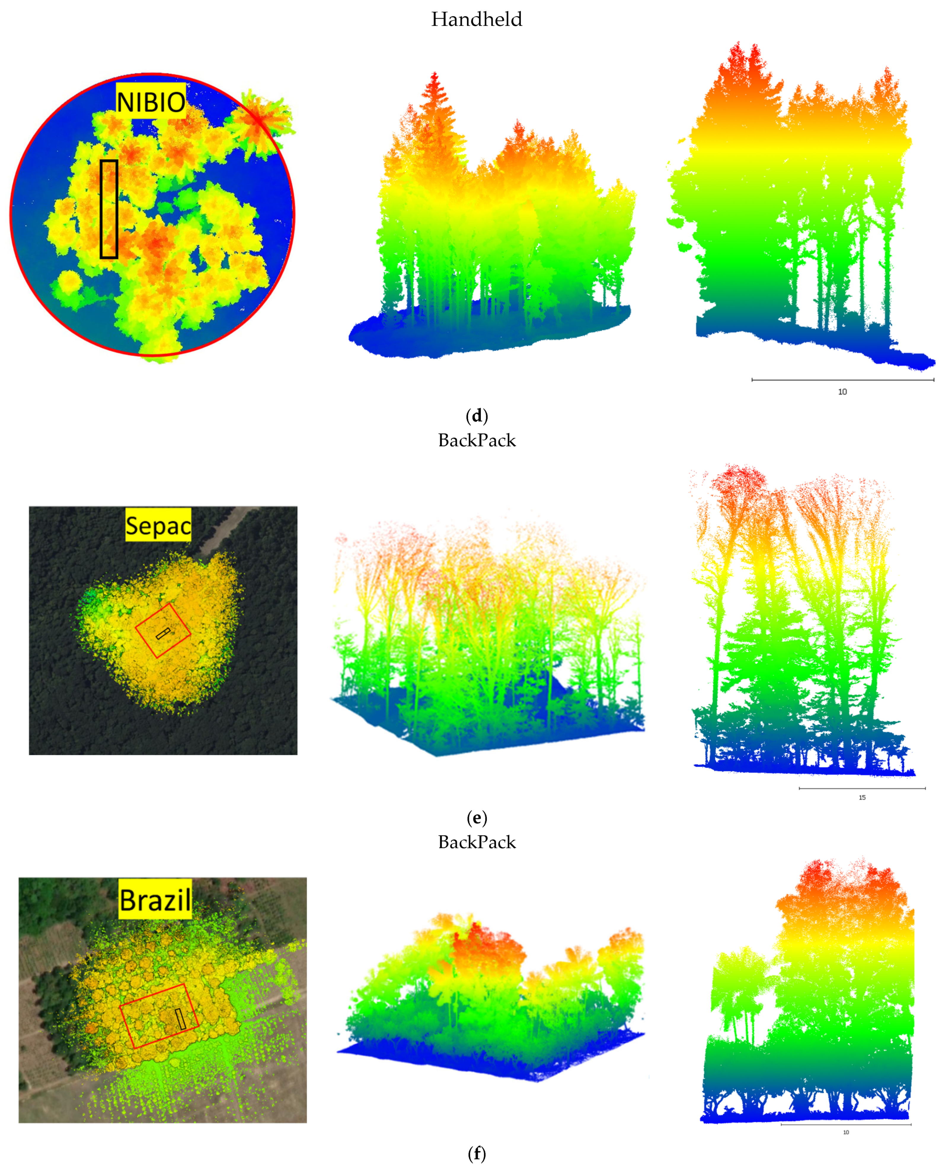
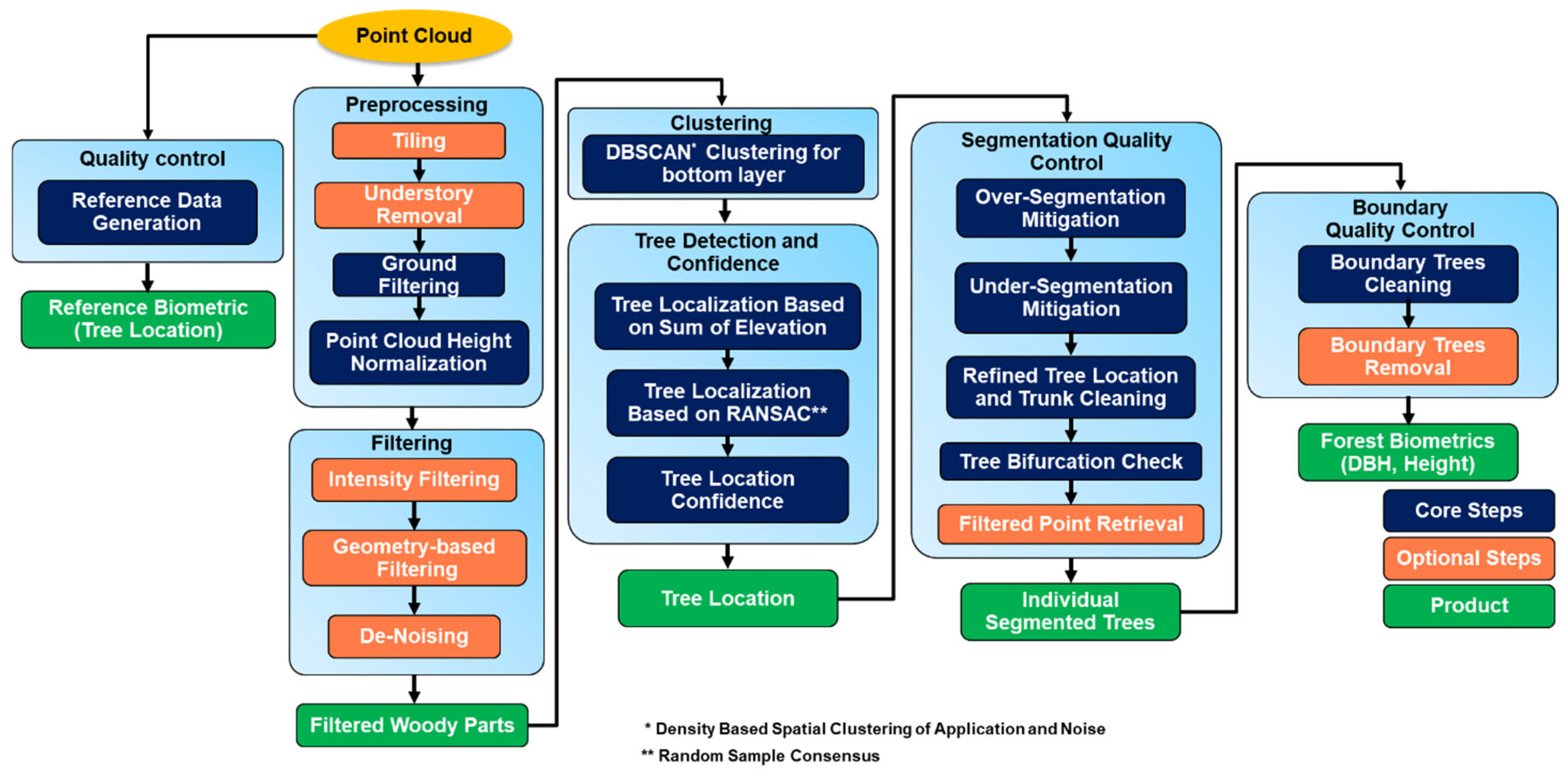
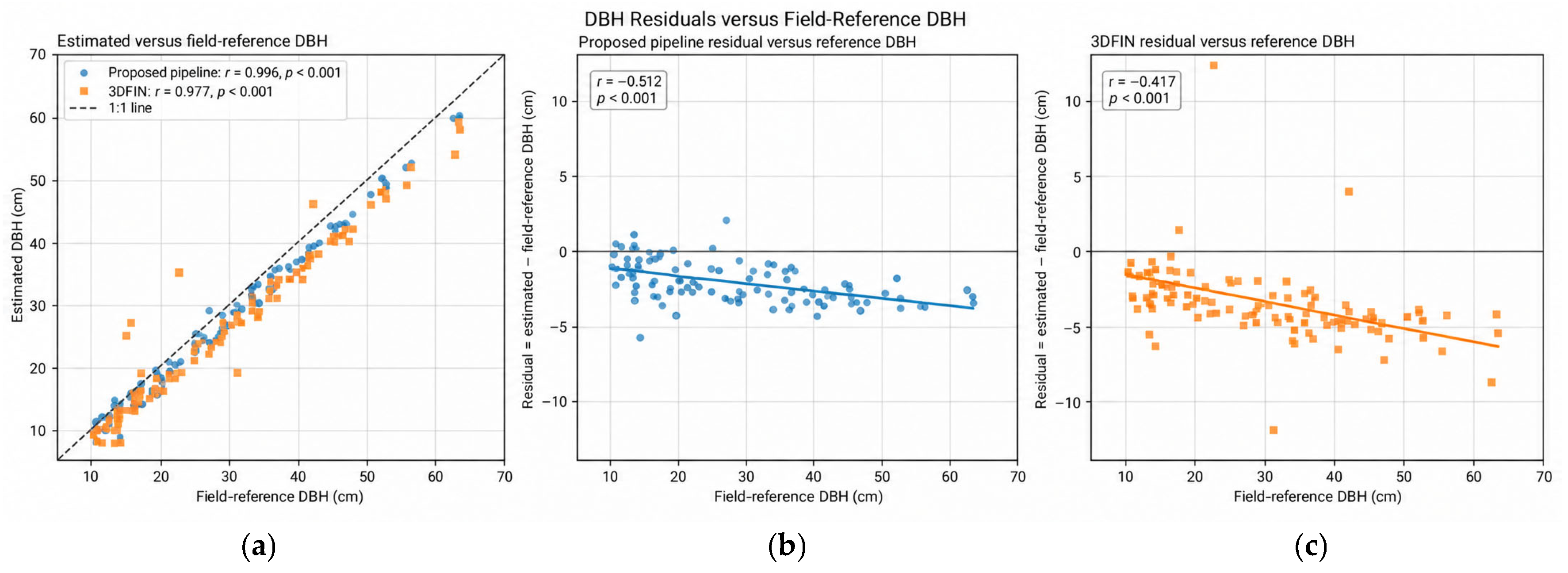
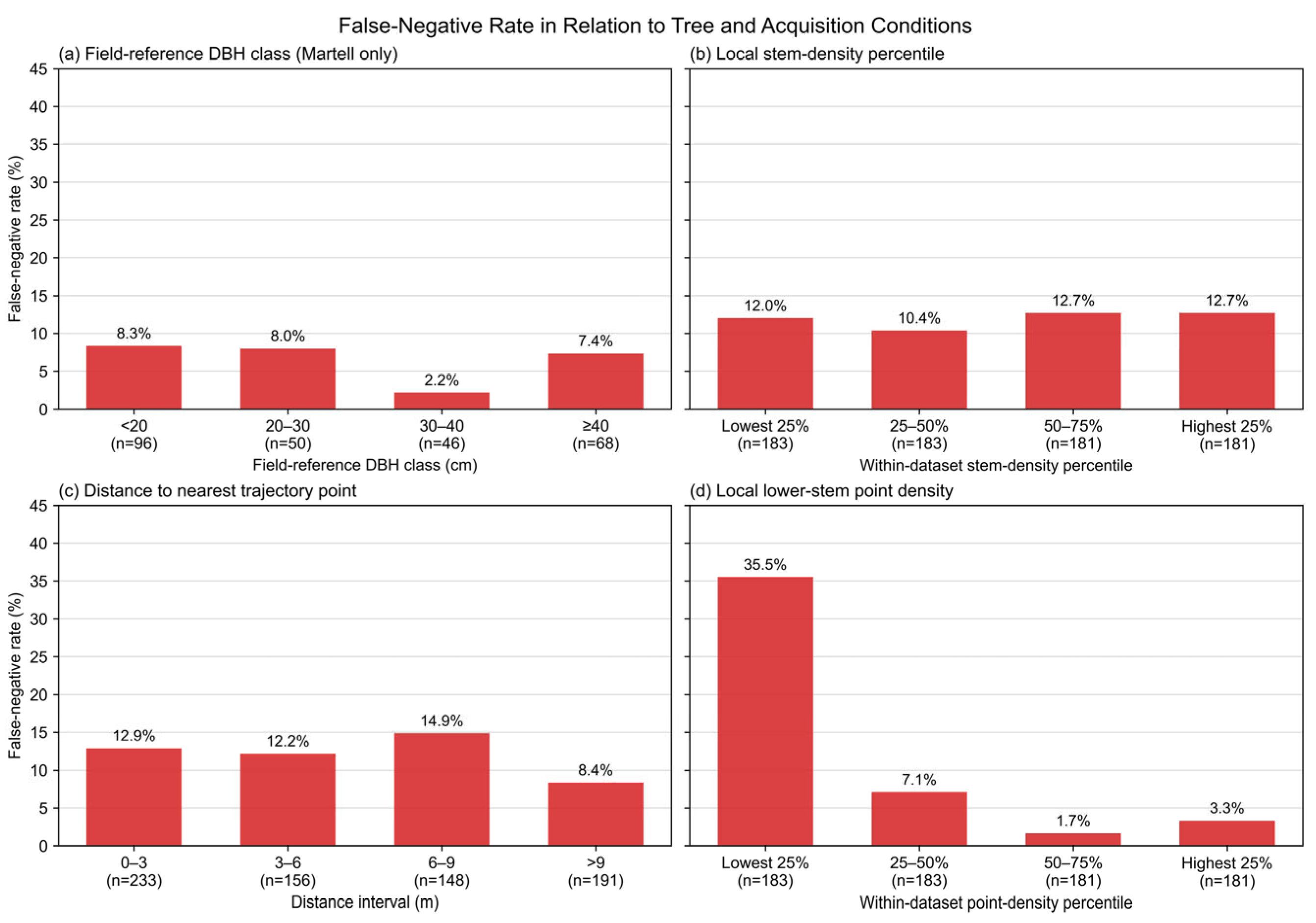
Light Detection and Ranging (LiDAR)-based forest inventory increasingly relies on diverse platforms, ranging from proximal systems including BackPack, All-Terrain Vehicle (ATV), and terrestrial laser scanning (TLS) to near-proximal systems such as uncrewed aerial vehicles (UAVs). However, differences in point density, viewing geometry, and occlusions among these acquisition systems pose challenges for processing heterogeneous LiDAR datasets using a common workflow. Traditional geometric approaches often rely on parameter tuning. On the other hand, deep learning (DL) approaches can be constrained by domain shift when applied to different sensors or forest environments. This study proposes a forest inventory pipeline for individual tree segmentation and the derivation of key forest biometrics including tree location and diameter at breast height (DBH) across heterogeneous LiDAR datasets. The pipeline uses a confidence-guided, multi-stage quality control framework that evaluates agreement between complementary tree location estimates to reduce common segmentation errors. In addition, a semi-automated procedure is developed to generate reference data for datasets lacking field measurements. The proposed workflow was evaluated using eight diverse datasets representing different platforms, sensors, acquisition patterns, and forest environments and was compared with 3DFIN, TreeLearn, and ForestFormer3D. Field reference measurements were available for a natural forest site, while the remaining datasets were evaluated using semi-automatically generated and manually refined reference data. The proposed tree detection pipeline achieved Precision ranging from 86.44% to 100%, Recall from 74.17% to 100%, and F1-scores from 81.82% to 100% across the evaluated datasets. For the Martell–BackPack dataset with independent field reference measurements, Precision, Recall, and F1-score were 97.55%, 96.95%, and 97.25%, respectively. For correctly detected trees by the proposed approach in the natural forest dataset with field measurements, DBH estimates achieved an RMSE of 2.5 cm with the total basal area underestimated by 1.88%, compared with DBH RMSE and reduction in basal area of 4.0 cm and 3.67%, respectively, for 3DFIN. Although the proposed pipeline did not achieve the highest performance in every test case, it maintained strong and generally consistent tree detection performance for the evaluated datasets. The main limitation of the proposed pipeline is its dependence on sufficient lower-stem visibility, which reduced tree detection accuracy in sparsely sampled areas. The proposed framework provides a practical workflow for LiDAR-based individual tree segmentation and DBH estimation using a fixed parameter configuration for all datasets captured by a given acquisition system.
Keywords: forest inventory; forest biometrics; individual tree segmentation (ITS); LiDAR; BackPack; UAV forest inventory; forest biometrics; individual tree segmentation (ITS); LiDAR; BackPack; UAV