applsci-logo

Journal Browser

Journal Browser

Recent Developments in Geoelectrical Imaging Method

A special issue of Applied Sciences (ISSN 2076-3417). This special issue belongs to the section "Earth Sciences".

Deadline for manuscript submissions: closed (31 December 2022) | Viewed by 2590

Special Issue Editors


E-Mail Website
Guest Editor
Institute of Earth Physics and Space Science, Eötvös Loránd Research Network, 9400 Sopron, Hungary
Interests: surface geoelectric arrays; quasi null arrays; depth of detection; resolution; imaging capability; karst; hydrology

E-Mail Website
Guest Editor
Archaeology Department, King Saud University, Riyadh 12372, Saudi Arabia
Interests: applied and environmental geophysics; geoarchaeology; groundwater exploration; geoelectric; electromagnetic methods

Special Issue Information

Dear Colleagues,

We are inviting submissions to the Special Issue on “Recent Developments in the Geoelectrical Imaging Method”.

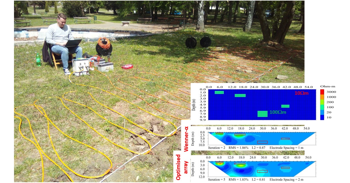
There have been major improvements in the geoelectrical imaging method in recent decades. In this Special Issue, we invite submissions exploring cutting-edge research and recent advances in the fields of improvements in instrumentation, field survey design, and data inversion techniques for the geoelectrical method in this period. Studies presenting the development of, e.g., new types of sensors; towed resistivity acquisition systems; and 2D, 2.5D, and 3D prospection and monitoring are highly welcome, as are comparisons of different geoelectric arrays in terms of their sensitivity, detection depth, resolution, imaging capability, including optimized array sets, etc. The sensitivity of different arrays to noises and their joint application, and their engineering, environmental, hydrological, and mining applications are also part of this Issue. Numerical and analogue modeling results and the different ways of inversion, including joint inversion, are also highly appreciated.

Both theoretical and experimental studies are welcome, as well as comprehensive review papers.

Prof. Dr. Sándor Szalai
Prof. Dr. Mohamed Metwaly
Guest Editors

Manuscript Submission Information

Manuscripts should be submitted online at www.mdpi.com by registering and logging in to this website. Once you are registered, click here to go to the submission form. Manuscripts can be submitted until the deadline. All submissions that pass pre-check are peer-reviewed. Accepted papers will be published continuously in the journal (as soon as accepted) and will be listed together on the special issue website. Research articles, review articles as well as short communications are invited. For planned papers, a title and short abstract (about 100 words) can be sent to the Editorial Office for announcement on this website.

Submitted manuscripts should not have been published previously, nor be under consideration for publication elsewhere (except conference proceedings papers). All manuscripts are thoroughly refereed through a single-blind peer-review process. A guide for authors and other relevant information for submission of manuscripts is available on the Instructions for Authors page. Applied Sciences is an international peer-reviewed open access semimonthly journal published by MDPI.

Please visit the Instructions for Authors page before submitting a manuscript. The Article Processing Charge (APC) for publication in this open access journal is 2400 CHF (Swiss Francs). Submitted papers should be well formatted and use good English. Authors may use MDPI's English editing service prior to publication or during author revisions.

Keywords

  • technical development
  • 2D, 2.5D and 3D measurements
  • imaging capacity of different arrays
  • optimization of array sets
  • detection depth
  • resolution
  • sensitivity
  • sensitivity to noises
  • joint application of different arrays
  • inversion
  • numerical and analogue modeling
  • applicability in other areas

Published Papers (1 paper)

Order results
Result details
Select all
Export citation of selected articles as:

Research

36 pages, 15961 KiB  
Article
Hydrothermal Reservoir and Electrical Anisotropy Investigated by Magnetotelluric Data, Case Study of Asal Rift, Republic of Djibouti
by Abdek Hassan Aden
Appl. Sci. 2023, 13(2), 1157; https://doi.org/10.3390/app13021157 - 15 Jan 2023
Viewed by 1704
Abstract
At the center of the Republic of Djibouti, an eroded rift called Asal is located where tectonic and magmatic activities can be observed at the surface. Multiple studies were carried out with different exploration methods, such as structural, geophysical and hydrogeological, to understand [...] Read more.
At the center of the Republic of Djibouti, an eroded rift called Asal is located where tectonic and magmatic activities can be observed at the surface. Multiple studies were carried out with different exploration methods, such as structural, geophysical and hydrogeological, to understand rifting processes and characterize the subsurface of this rift. Among these subsurface exploration methods, the deep geoelectrical structures need to be better defined with the magnetotelluric (MT) method to better delineate the deep resistivity structures. With the objective of improving our understanding of the deep rift structure, magnetotelluric (MT) data acquired in the Asal rift were analyzed and inverted to build a 2D electrical conductivity model of the hydrothermal system. To achieve this, a dimensionality analysis of the MT data along a 2D profile perpendicular to the rift axis was carried out. Results of this analysis justify the approximation of 2D conductivity structure. Then, 2D inversion models were achieved to build models of the conductive structures. Dimensionality analysis results revealed the existence of electrical anisotropy. Consistent correlation between geoelectric strike and electrical anisotropy direction was suggested. Electrical anisotropy direction determined from the ellipticity of the phase tensor for the short periods was interpreted as the consequence of tectonic activity and horizontal deformation of the rift. Moreover, electrical anisotropy direction for the long periods was assumed to be related to the effects of combined magmatic-tectonic activities with predominant magma/dyke intrusion, which implies the vertical deformation and the subsidence of the rift and may imply the alignment of Olivine. Moreover, the variation and rotation of paleo and recent stress fields direction of plate motion in Asal rift located at the junction of three diverging plates—Arabia, Nubia and Somalia—over geological time can generate both magmatic and tectonic activities which in turn can induce a preferred direction of electrical anisotropy which is the direction of the highest conductivity. While the north-south electrical anisotropy direction is parallel to the direction of Red Sea Rift propagation, the north-east electrical anisotropy direction is aligned with the extension direction between Arabia and Somalia plates. Results of the 2D inversion models presented for the Asal rift allowed to identify two superimposed conductive units close to the surface and are interpreted as a shallow aquifer and a wide potential hydrothermal system. These conductive mediums are overlying a relatively resistive medium. The latter is associated with a magmatic system likely containing hot and/or partly molten rocks. The 2D conductivity model developed in this study could be considered as conceptual model of Asal rift prior to modeling multiphase fluid flow and heat transfer and/or could be used to identify the hydrothermal system for future drilling target depth of geothermal exploration. Full article
(This article belongs to the Special Issue Recent Developments in Geoelectrical Imaging Method)
Show Figures

Figure 1

Back to TopTop